


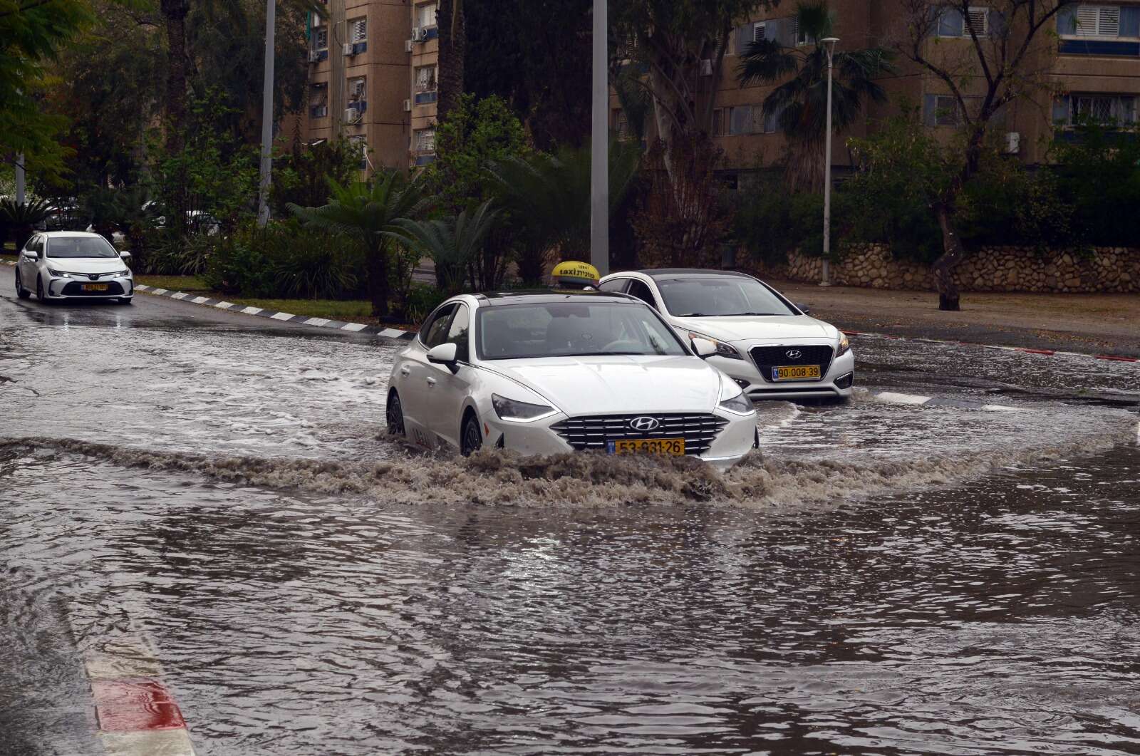
Israel's Meteorological Service issued a red alert on Monday, its highest warning level, ahead of an exceptionally powrful windstorm expected to hit the country from the evening hours through Tuesday. According to the forecast, wind gusts could reach speeds of up to 110 kilometers per hour, about 68 mph, particularly along the coast. At the same time, authorities are warning of flooding, flash floods and dangerously stormy seas.
The Meteorological Service said a significant rain system, along the windstorm, will begin entering northern Israel on Monday evening and gradually spread to the rest of the country.
In a statement released by the service's director, Dr. Amir Givati, he said that "strong and unusual winds will affect Israel from the evening hours, through the night and during the first half of Tuesday." He added that the most powerful winds are expected along the coastal plain, where gusts may reach up to 110 kilometers per hour.
The red alert applies to wide areas, including the Mediterranean Sea, the northern mountains, the Carmel range, the northern, central and southern coastal plain, the central highlands, northern Samaria, northeastern Negev and the Negev Mountains.
The warning is in effect from 10 p.m. Monday until 6 p.m. Tuesday local time. During this period, westerly winds of around 50 kilometers per hour, about 31 mph, are expected with exceptionally strong gusts.
Another major concern is sea conditions. The Meteorological Service has also issued a red warning for dangerously stormy seas and a complete ban on swimming in the Mediterranean. This warning will be in effect from Tuesday morning through Wednesday morning. Sea conditions are expected to range from high to stormy, with significant wave heights of between 2.5 and 6 meters, about 8 to 20 feet.


